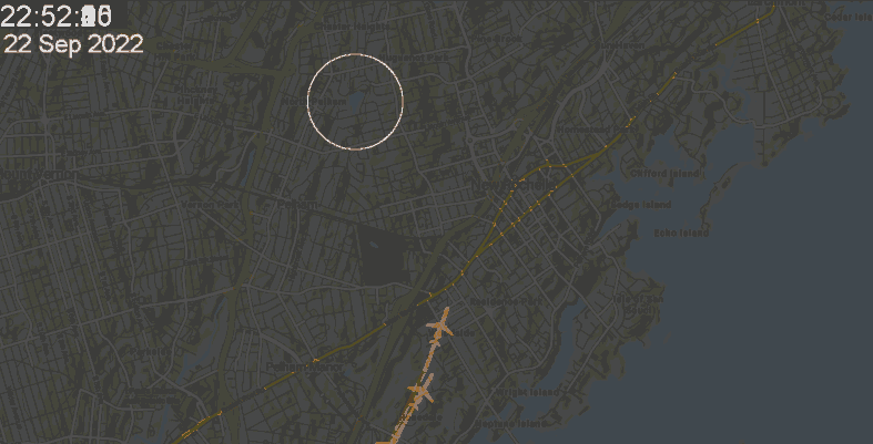
First attempts to capture LGA radar data broadcast on the web.
This is the first try to collect data and it went pretty well. The white circle is around Glenwood Lake neighborhood.
The color range was reduced to make the file smaller for the web.
The LGA radar website https://flightradar.live/en/flight-radar/nam/us/new-york-laguardia-airport-lga-live-flight-radar/ serves out a new image every second or so. I wrote a script in ImageJ to screensnap and crop out the map at five second intervals. For one minute the images were combined and then saved. Therefore, each image is a combination of twelve frames over one minute. The first versions of the code were very simple but resulted in a lot of files that needed postprocessing.
Most planes skirt the neighborhood, but 11:23 PM 22 Sep 2022 a plane appears to go directly over the apartment buildings on the Pelham/New Rochelle border on the NW side of the lake.
This second movie only covers 12 minutes beginning at 4:31 PM on 23 Sep 2022.
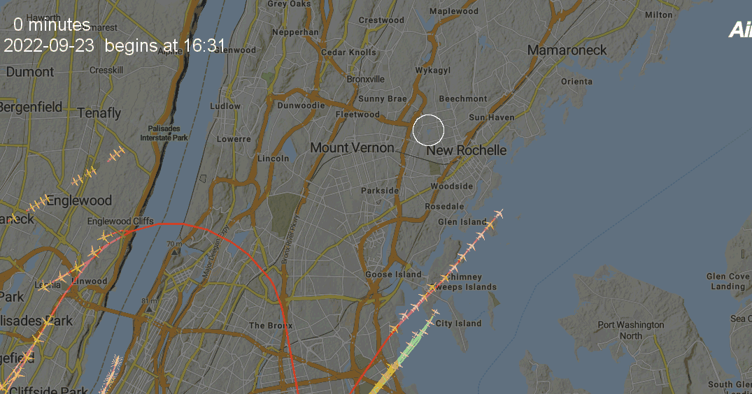
Posting these as proof of principle.